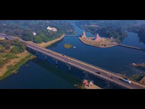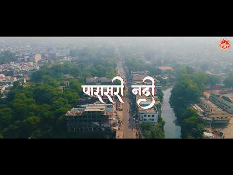

The District Vidiha lies on the Plateau off the main Vindhyachal Range, which throws several spurs towards North and North-East.The Plateau slopes towards the North and it is drained by a number of rivers. These rivers have formed their valleys between the spur fanges. Most of the Vidisha lies in the Valley of Betwa River which flows from South to North.
Latest News

District at a Glance
-
Area: 7371 SqKM
-
Population: 14,58,875
-
Tehsil: 12
-
Villages: 1524
-
Male: :7,69,568
-
Female: 6,89,307

Bharat Map
Whats New
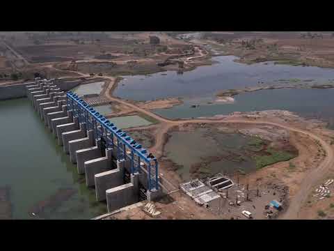
- Declaration under Section 19 of the Right to Fair Compensation and Transparency in Land Acquisition, Rehabilitation and Resettlement Act, 2013, for Village Pikalon under the Kotha Barrage Irrigation Project.
- E-Tender for Printing of Assessment Materials for Annual Examination Evaluation Sessions 2026-27 and 2027-28
- Declaration for Land Acquisition for the Construction of the Hanota Irrigation Project in Khajuriya , Pathari, Vidisha
- Preliminary Notification for Land Acquisition for the Kota Barrage Project in Gammukhedi, Kurwai, Vidisha

नीलकंठेश्वर मंदिर

नीलकंठेश्वर मंदिर

हेलियोडोरस स्तंभ

बीजामंडल

मलादेवी मंदिर, ग्यारसपुर

उदयगिरि गुफाएँ

चरण तीर्थ

बीजामंडल

मालादेवी मंदिर

नीलकंठेश्वर महादेव मंदिर

माधव उद्यान